Agriculture
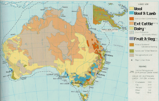
Picture 1: Is a map of where and what is made all around Australia. Link: http://kernow.curtin.edu.au/www/Agrirobot1/map.gif
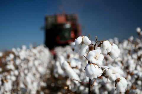
Picture 2: An Australian cotton field. Link: http://www.agworkforce.com.au/images/gallery/cotton/cotton_australia.jpg
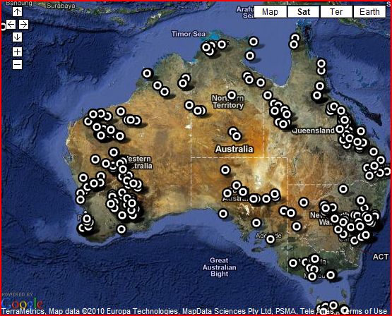
Picture 3: Australia is known for its mining, so here is a map of all the mines in Australia. Link: http://www.darwin-australia.com/assets/images/mine%20maps.JPG
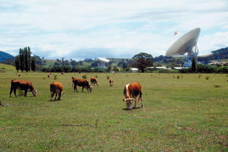
Picture 4: Australia also has many livestock fields. Link: http://i.governmentgrantsaustralia.org/uploads/2012/04/agriculturegrants1.jpg
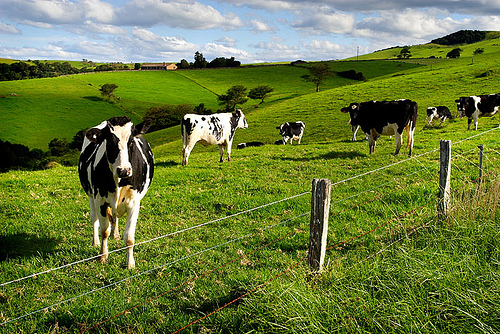
Picture 5: More Australian livestock. Link: http://econews.com.au/wp-content/uploads/2012/10/agriculture_dairy_farming.jpg
Picture 2: An Australian cotton field. Link: http://www.agworkforce.com.au/images/gallery/cotton/cotton_australia.jpg
Picture 3: Australia is known for its mining, so here is a map of all the mines in Australia. Link: http://www.darwin-australia.com/assets/images/mine%20maps.JPG
Picture 4: Australia also has many livestock fields. Link: http://i.governmentgrantsaustralia.org/uploads/2012/04/agriculturegrants1.jpg
Picture 5: More Australian livestock. Link: http://econews.com.au/wp-content/uploads/2012/10/agriculture_dairy_farming.jpg
Total Area: 7,741,220 sq km
Land Area :7,682,300 sq km
Water Area: 58,920 sq km
Climate Description: generally arid to semiarid; temperate in south and east; tropical in north
Terrain Description: mostly low plateau with deserts; fertile plain in southeast
Arable Land Use: 6.16%
Permanent Crop Land Use: 0.05%
Irrigated Land: 25,460 sq km
Total Renewable Water Resources: 492 cu kmTotal Freshwater Withdrawal: 22.58 cu km/yr
Per Person Freshwater Withdrawal: 1,152 cu m/yr
Natural Hazards description: cyclones along the coast; severe droughts; forest fires
Environmental Current Issues: soil erosion from overgrazing, industrial development, urbanization, and poor farming practices; soil salinity rising due to the use of poor quality water; desertification; clearing for agricultural purposes threatens the natural habitat of many unique animal and plant species; the Great Barrier Reef off the northeast coast, the largest coral reef in the world, is threatened by increased shipping and its popularity as a tourist site; limited natural freshwater resources
Total Labor Force: 12.15 million
% Of Labor Force in Agriculture: 3.6%
Agriculture products: mining, industrial and transportation equipment, food processing, chemicals, steel
